Airbnb, Cabins, Vacation Rentals in Yosemite National Park, CA
Compare 776 available vacation home properties, starts from $40
Navigate forward to interact with the calendar and select a date. Press the question mark key to get the keyboard shortcuts for changing dates.
Navigate backward to interact with the calendar and select a date. Press the question mark key to get the keyboard shortcuts for changing dates.
Find the best vacation rental
Save Up To 71%
Airbnb, Best Cheap Vacation House & Cabin Rental Deals near Yosemite National Park, CA
9.4 (1015 reviews)
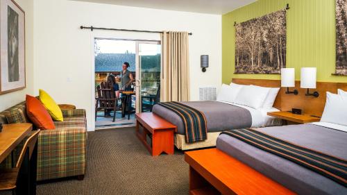
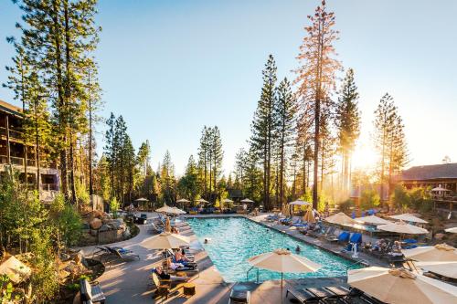
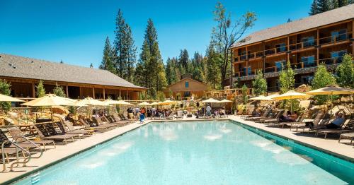
Rush Creek Lodge at Yosemite
Resort · 2 Guests · 1 Bedroom
$265 /night

9.4 (27 reviews)
(9B) Deer Hollow at The Redwoods In Yosemite
Cabin · 2 Guests · 1 Bedroom
$302 /night*

Double Eagle Resort and Spa
Resort · 2 Guests · 1 Bedroom
$299 /night

8.6 (168 reviews)
Yosemite Lakes Wheelchair Accessible Meadow Yurt 16
Holiday park · 2 Guests · 1 Bedroom
$151 /night

9.8 (10 reviews)
(A202) Loft Condominiums
Condo · 2 Guests · 1 Bedroom
$194 /night*

9.0 (21 reviews)
(3N) Lockwood Lodge at The Redwoods In Yosemite
Cabin · 2 Guests · 1 Bedroom
$302 /night*

9.0 (13 reviews)
(84) Hasting's Hideaway at The Redwoods In Yosemite
Cabin · 2 Guests · 1 Bedroom
$208 /night*

8.6 (8 reviews)
(B207) Loft Condominiums
Condo · 2 Guests · 1 Bedroom
$194 /night*

8.0 (4 reviews)
(6) Squirrel's Nest at The Redwoods In Yosemite
Cabin · 2 Guests · 1 Bedroom
$208 /night*

7.2 (413 reviews)
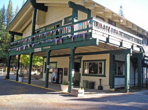
Whispering Pines
Motel · 2 Guests · 1 Bedroom
$152 /night

7.8 (1696 reviews)
Indian Flat RV Park - Tent Cabins & Cottages
RV park · 2 Guests · 1 Bedroom
$139 /night

9.8 (14 reviews)
(A212) Loft Condominiums
Condo · 2 Guests · 1 Bedroom
$194 /night*

9.2 (20 reviews)
(1B) Heart of the Meadow at The Redwoods In Yosemite
Cabin · 2 Guests · 1 Bedroom
$208 /night*

9.0 (13 reviews)
(43R) Edna's Hearts Desire at The Redwoods In Yosemite
Cabin · 2 Guests · 1 Bedroom
$208 /night*

9.8 (36 reviews)
(73) Walk-A-Bout at The Redwoods In Yosemite
Cabin · 2 Guests · 1 Bedroom
$286 /night*

8.4 (5 reviews)
(B208) Loft Condominiums
Condo · 2 Guests · 1 Bedroom
$194 /night*

9.8 (9 reviews)
(65) Sparrow's Nest at The Redwoods In Yosemite
Cabin · 2 Guests · 1 Bedroom
$219 /night*

9.2 (17 reviews)
(55) Deer Creek at The Redwoods In Yosemite
Cabin · 2 Guests · 1 Bedroom
$302 /night*

10 (7 reviews)
(17A ) Longview at The Redwoods In Yosemite
Cabin · 2 Guests · 1 Bedroom
$280 /night*

8.6 (8 reviews)
(35) Cubby's Den at The Redwoods In Yosemite
Cabin · 2 Guests · 1 Bedroom
$270 /night*

Vacation Destinations Near Yosemite National Park, CA
Airbnb, Vacation House with Full Kitchen in Yosemite National Park, CA
What Are The Top Amenities at Yosemite National Park, CA?
Yosemite National Park, CA Rental Amenities
+
Which Price Range Is Considered As A Good Deal in Yosemite National Park, CA Area?
Vacation House & Cabin Rental Price Information in Yosemite National Park, CA
+
What Are The Most Liked Rental Accommodations in Yosemite National Park, CA?
Most Picked Accommodations in Yosemite National Park, CA
+
How Many Accommodations Are Not Pets Friendly in Yosemite National Park, CA?
Pets Allowed vs Not Allowed in Yosemite National Park, CA
+
What Are The Must-Visit Places in Yosemite National Park, CA?
Points of Interests In Yosemite National Park, CA
+
Must-Visit Trails in Yosemite National Park, CA?
Best Trails In Yosemite National Park, CA
+
Any RV Campgrounds in Yosemite National Park, CA?
Campgrounds Recommendations In Yosemite National Park, CA
+
What are the must-visit places in Yosemite National Park, CA?
Must See Attractions
+
What are the travel peak seasons in Yosemite National Park, CA?
Peak Seasons
+
How to get around in Yosemite National Park, CA?
Transportations
+
Other Vacation Rentals Ideas
Airbnb, Log Cabin Rentals with Fireplace in Yosemite National Park, CA
Fireplace
9.8 (36 reviews)
(73) Walk-A-Bout at The Redwoods In Yosemite
Cabin · 2 Guests · 1 Bedroom
$286 /night*

Fireplace
9.6 (14 reviews)
(26) Deer Den at The Redwoods In Yosemite
Cabin · 2 Guests · 1 Bedroom
$338 /night*

Fireplace
9.0 (11 reviews)
(11) Shangri la-de-da at The Redwoods In Yosemite
Cabin · 2 Guests · 1 Bedroom
$530 /night*

* The displayed nightly rate may be estimated based on a future travel date. Narrow down your search with checkin and checkout dates to see the exact price.
